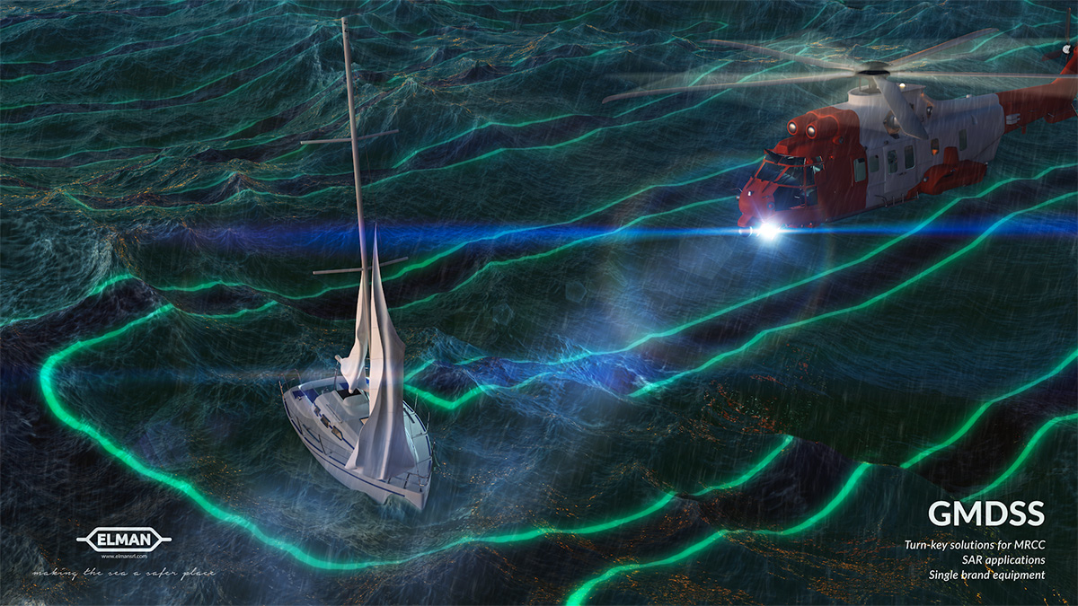
The GMDSS system (GLOBAL MARITIME DISTRESS AND SAFETY SYSTEM) is the current system for the rescue and safety of human life at sea.
It was adopted by the conference of governments contracting the international convention SOLAS ’74 (SAFETY OF LIFE AT SEA) and was developed to ensure greater effectiveness of rescue at sea, taking into account the development of new technologies such as selective digital calling techniques (DSC), narrowband direct printing (NBDP) and the use of satellites in geostationary (INMARSAT) and polar (COSPAS SARSAT) orbits.
The system arises from the need that each ship, in the event of an accident, must have the ability to send distress signals to other ships and to coastal coordination centers responsible for search and rescue at sea and to communicate with them. The primary task is to alert coastal authorities of a ship’s state of danger and request immediate assistance. The Rescue Coordination Center (MRCC) coordinates Search And Rescue (SAR) operations, while the ships in the area are obliged to provide direct assistance by participating in the operations.
This operational capacity is obtained by respecting various functional requirements considered essential for the purposes of navigation safety; the set of these functional requirements is satisfied by a combination of the following radio-communication services (together with the use of systems for receiving maritime safety information and radiolocation systems for search and rescue):
- INMARSAT system using geostationary satellites.
- COSPAS-SARSAT system using satellites in low polar orbit.
- Maritime mobile service in the VHF band (156-174 MHz).
- Maritime mobile service in the MF band (1.6-4.0 MHz).
- Maritime mobile service in the HF band (4-27.5 MHz).
The choice of the radio-communication service therefore depends on the geographical area in which the ship operates. The following operational areas are defined:
| AREA A1 | Area within the coverage range of a VHF coast station where continuous DSC listening is available |
| AREA A2 | Area within the coverage range of an MF-HF coast station where continuous DSC listening is available. Area A1 excluded |
| AREA A3 | Area within the coverage range of INMARSAT geostationary satellites. Areas A1 and A2 excluded |
| AREA A4 | Zones not included in Areas A1, A2, and A3 |
The procedures for the alert calling are different depending on the affected area. The DSC is an integral part of the GMDSS; it is essentially a system of ship-to-ship and ship-to-shore “selective calls” with relative automatic recognition by the coastal station. In fact, each call consists of a digital data packet in one of the four types provided: Distress, Safety, Routine or Urgency. ‘Distress’ messages are automatically transmitted to all stations in the maritime bands: MF (2187.5 kHz), HF (4207.5, 6312, 8414.5, 12577, 16804.5 kHz), VHF (Ch.70 – 156.525 MHz).
GMDSS Solution
For ground control centers, ELMAN provides a turn-key solution, including an integrated software solution for managing the complete system: PELAGUS GMDSS.
This solution has already been adopted by the Italian Coast Guard and by various foreign administrations.